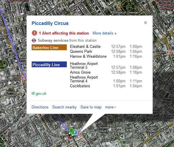
Google have now incorporated live service data for the London Underground from TFL (Transport for London) into Google Maps.
If you’re like me and plan out your journey using Google Maps this is a great tool not only including live tube time data, which now also accounts for line closures and delays as well as being able to suggest alternate routes for commuters.

The new integration will prove useful not only to Londoners making their way across the capital but also the millions which will be flooding London this summer for the Olympics, with travelling in a foreign country additional information and service data at the finger tips of tourists will hopefully be of benefit and help those tech savvy enough navigate the chaos of London transport and ease pressure on the already straining London Underground.
It’s great seeing better use of live data like this being integrated into real-world systems like Google Maps enabling the everyday user to make real use of public data.
